The Future of Contextual Computing: How Google’s ARCore and Jetpack XR are Reimagining Spatial Navigation
The digital landscape is undergoing a profound transformation, shifting from the two-dimensional confines of smartphone screens to the expansive, interactive canvas of the physical world. At this year’s Google I/O, the tech giant signaled a major milestone in this transition: the introduction of the Geospatial API preview within ARCore for Jetpack XR. By integrating Google’s sophisticated Visual Positioning System (VPS) with Android’s spatial computing framework, developers can now anchor digital experiences to the real world with sub-meter accuracy.
This advancement is not merely an incremental update; it represents a fundamental shift in how humans interact with information while traversing their physical environments. To showcase this potential, Google’s engineering teams developed the "XR Geospatial Tour," a proof-of-concept application that transforms wearable XR hardware into an intelligent, hyper-local guide.
The Convergence of Spatial Intelligence and Generative AI
The XR Geospatial Tour is a masterclass in modern software synthesis. It weaves together three distinct technological pillars: the precision of ARCore’s VPS, the reasoning capabilities of the Gemini API powered by Firebase AI Logic, and the immersive interface capabilities of the Jetpack XR SDK.
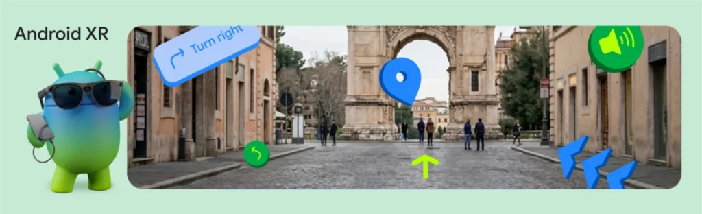
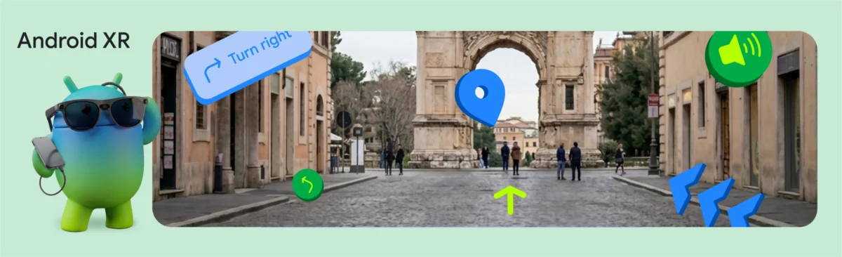
Imagine arriving in a historic, unfamiliar city. Instead of squinting at a flat map on a smartphone—a process that is cognitively taxing and physically isolating—the user dons a pair of lightweight, wired XR glasses, such as the upcoming XREAL Project Aura. As the user walks, 3D waypoints materialize in their peripheral vision, guiding them along an optimized path. Simultaneously, an AI-powered voice companion narrates the history of the landmarks in their direct line of sight. This is not just augmented reality; it is "contextual computing."
Chronology of Development: From GPS to VPS
To understand the magnitude of this achievement, one must examine the evolution of location-based services. Traditional GPS systems have long provided latitude and longitude, but they often struggle with the "canyon effect" in urban environments—where tall buildings reflect signals—and they lack the critical "heading" information required to orient a user toward a specific landmark.
Phase 1: Pinpointing via VPS
The Geospatial API addresses these limitations by utilizing computer vision to match the user’s camera feed against Google’s vast, anonymized database of imagery. This is the essence of the Visual Positioning System (VPS). By analyzing the architectural features and landscape geometry, the system provides a GeospatialPose. This data includes latitude, longitude, and, crucially, precise heading information.
In the implementation of the tour guide, developers monitor horizontalAccuracy and orientationYawAccuracy thresholds. If the system detects that a user has moved indoors or into a "dead zone" where VPS is unavailable, the application gracefully prompts the user to move toward an open, recognized outdoor space, ensuring that the 3D anchors remain stable and accurate.
Phase 2: Orchestrating the Itinerary
Once the user’s location is verified, the application triggers a request to the Gemini API. By using Firebase AI Logic, developers can prompt Gemini to function as a professional tour guide. The system transmits the user’s coordinates to the model, which then processes the local geography to generate a structured JSON itinerary.
A key challenge with Large Language Models (LLMs) is their tendency to "hallucinate" geographic coordinates. To mitigate this, Google integrated Google Maps Grounding. This technology forces the AI to cross-reference its generative output with verified, real-world map data, ensuring that the suggested stops are not only logically sequenced but physically accessible by foot.
Phase 3: The Auditory Experience
The "human" element of the tour is provided by Gemini 2.5 Flash, specifically configured for Text-to-Speech (TTS) via the ResponseModality.AUDIO setting. Unlike traditional, robotic-sounding navigation apps, this model delivers responses in a nuanced, conversational tone. By extracting raw audio bytes directly from the model’s response stream, the app minimizes latency, creating a seamless, hands-free dialogue between the machine and the traveler.
Technical Architecture and Supporting Data
The implementation of the XR Geospatial Tour relies on a rigorous software stack designed for the unique demands of spatial computing.
The Role of Jetpack XR
Jetpack XR acts as the bridge between standard Android UI development and the spatial realm. Developers can utilize Jetpack Compose for XR to create 2D panels that float within a 3D environment, allowing for a hybrid interface.
The InfoSphere component, for instance, demonstrates the efficacy of this approach. Using SpatialBox and SceneCoreEntity, developers can render a 3D orb that floats in physical space. When the user interacts with the orb, the system triggers an AnimatedSpatialVisibility event, causing a 2D information panel to slide into view. This interplay between 3D depth and 2D information density is essential for preventing information overload in an XR environment.
Codebase Integration
The technical implementation involves sophisticated hooks between the session state and the rendering engine. For example:
- VPS Localization: The
geospatial.createGeospatialPoseFromPose(arDevice.state.value.devicePose)call provides the foundation of the coordinate system. - Generative Tooling: The
Tool.googleMaps()integration ensures that the Gemini model is bound to valid geographic data points. - Interactive Entities: The use of
InteractableComponentallows for low-latency feedback when a user selects a 3D object in their field of view.
Implications for the Industry
The release of the Geospatial API for Android XR, coupled with the Android XR Developer Catalyst Program, has profound implications for the future of the internet.
Redefining Retail and Tourism
The ability to anchor digital content to specific, high-precision coordinates will change the way businesses operate. Retailers can provide "find-my-item" guidance that directs customers to specific shelves in a store, while tourism boards can provide interactive, self-guided tours that never require a physical brochure.
The Hardware Catalyst
A significant barrier to the adoption of XR has been the lack of developer access to high-fidelity, wearable hardware. By opening applications for the Android XR Developer Catalyst Program—which includes the XREAL Project Aura—Google is effectively lowering the barrier to entry for independent developers and enterprise firms alike. This program provides the necessary devkits to test, iterate, and deploy spatial applications that are ready for the next generation of hardware.
Ethical and Privacy Considerations
As these technologies become more prevalent, the importance of spatial privacy cannot be overstated. Google’s implementation of VPS relies on anonymized data, and developers are encouraged to prioritize user consent when accessing location and camera feeds. As the "spatial web" expands, the industry will need to establish clear norms for how data is collected, processed, and discarded to maintain user trust.
Conclusion: A New Frontier for Android Developers
The XR Geospatial Tour is more than just a demo; it is a blueprint for the future of mobile interaction. By synthesizing the precision of VPS, the generative reasoning of Gemini, and the spatial agility of the Jetpack XR SDK, Google has provided a toolkit that enables developers to build experiences that are as expansive as the world itself.
As we move toward a future where our devices "understand" the physical world, the line between digital information and physical reality will continue to blur. For developers, the message is clear: the tools to build this new world are no longer theoretical—they are available today. The question is no longer whether we can build immersive, world-scale spatial experiences, but what kind of world we will choose to construct once we do.
With the Android XR Developer Catalyst Program now open, the global developer community is invited to start building the next iteration of the human experience. Whether it is transforming urban exploration, enhancing industrial safety, or simply making the daily commute more informative, the Geospatial API provides the foundation upon which the next decade of computing will be built.